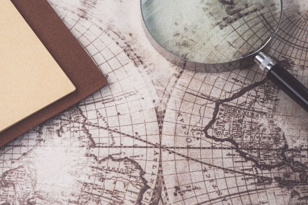
A map looks certain. Clean lines, precise numbers, confident names. That confidence is part of why we trust maps, and part of why they can be dangerous. My point in this post is that the most honest thing on any chart is its blank space, and that early polar explorers understood this better than many modern users of digital charts.
Before satellites and electronic chartplotters, mapping the polar regions meant slow, careful work from the deck of a wooden ship. Navigators measured depth with a lead line, sketched the profile of headlands in ink, and took sightings whenever the fog lifted. Where they had not been, they left the chart blank, or drew a dotted line, or wrote a short warning about impenetrable pack ice. Those gaps were a way of saying: we do not know.
There is an interesting parallel with early maps of the Moon and Mars. Astronomers looking through telescopes also worked at the edge of what they could see, turning blurry glimpses into lines on paper. Sometimes they saw features that were not there. The famous “canals” of Mars are the classic example. Where measurement stopped, imagination filled the margins, and the result looked just as authoritative as the real data.
Modern charts hide their uncertainty much better. On a screen, the coastline of Antarctica looks complete. But large parts of Antarctic waters are still poorly surveyed, and some soundings are old or sparse. Experienced sailors know to check the source data, approach unfamiliar anchorages slowly and watch the depth sounder rather than trusting a smooth line on a display. The danger is not the blank space. It is the line that looks precise and is not.
Designing maps for children’s books gave me a new respect for this craft. A good map is not just a technical diagram. It is an invitation to find your place in the world. When I show young readers where the Drake Passage narrows, how the Antarctic Peninsula reaches towards South America, or how Greenland’s fjords cut into the ice sheet, I want them to feel curiosity, not just collect facts.
I also want them to learn early that maps are made by people, with gaps and guesses. That is not a weakness. It is the most useful thing a map can teach: to look carefully, to ask where information comes from, and to respect the places nobody has properly seen yet.


Leave a Reply